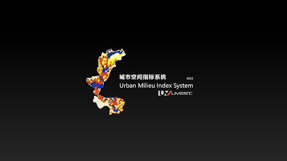
Technology Desk - Urban Milieu Index System
Content Provided UVEST
The complexity of urban milieu
"Cities are the quintessential example of complex systems. Their patterning in spatial terms across many scales is highly ordered but the evolution of such patterns does not depend on some centralised authority, some hidden hand, except insofar as such a hidden hand emerges from the uncoordinated actions of individuals."
--- British Urban Planner Michael Batty
Urban evaluations are performed by urban planners or professionals. This conventionally appears as SWOT analysis (or SWOT matrix), which is a strategic planning technique used to identify strengths, weaknesses, opportunities, and threats related to project planning. In the urban study, SWOT is usually used as a contextual analysis tool in planning, particularly in the fields of land-resource planning, urban strategy planning, tourism planning, etc.
The conventional SWOT analysis only analyzes the research object in general terms, and the result is descriptive, which is usually a brief judgment of the strengths and weaknesses, lacking depth and accuracy. For the urban milieu analysis, there would be more segmentation, and the results are quantified. These results are graphically presented as a common empirical approach in urban research. To solve these problems, the UMI system is invented.
Urban Milieu Index System
Urban Milieu Index System(UMI) is an analytical software (International IP: PCT/SG2020/050802) used to derive the relative values of selected pieces of land (plots) demarcated within a zone (area) at a particular time based on the objective mapping of a set of economics, environmental and cultural-socio (civic) factors containing a series of attributes. It is an objective and practical guide for perceiving the existing situation, evaluating the design, and guiding the development.
UMI Applications are mainly 3 types:
(1) Urban planning and urban design projects. It can be used to complement the SWOT analysis in these projects to provide a quantified and graphically presented reference for the formulation of planning strategy, selection of relevant land use, and location of suitable amenities.
(2) Land and property development projects. It can be used to avoid threats and discover new opportunities in development. It is also an effective development phasing guide.
(3) Government authority policy making. It can help the policy maker to validate the master plan, identify planning incongruency, and guide development density and intensity for the formulation of planning guidelines.
UMI has the advantage of contacting urban analytics. UMI provides an empirical standard for the comparison of places. The result is much more objective, accurate, and specific than the traditional SWOT analysis. It improves the analysis and evaluation efficiency. By automating the data processing, as compared to doing it manually, generally 70% timesaving can be achieved. Moreover, UMI is a guiding tool for the future urban milieu. It is forward-looking by comparing data from the case base.


Comments
Post a Comment